Texas Trees Foundation Reports
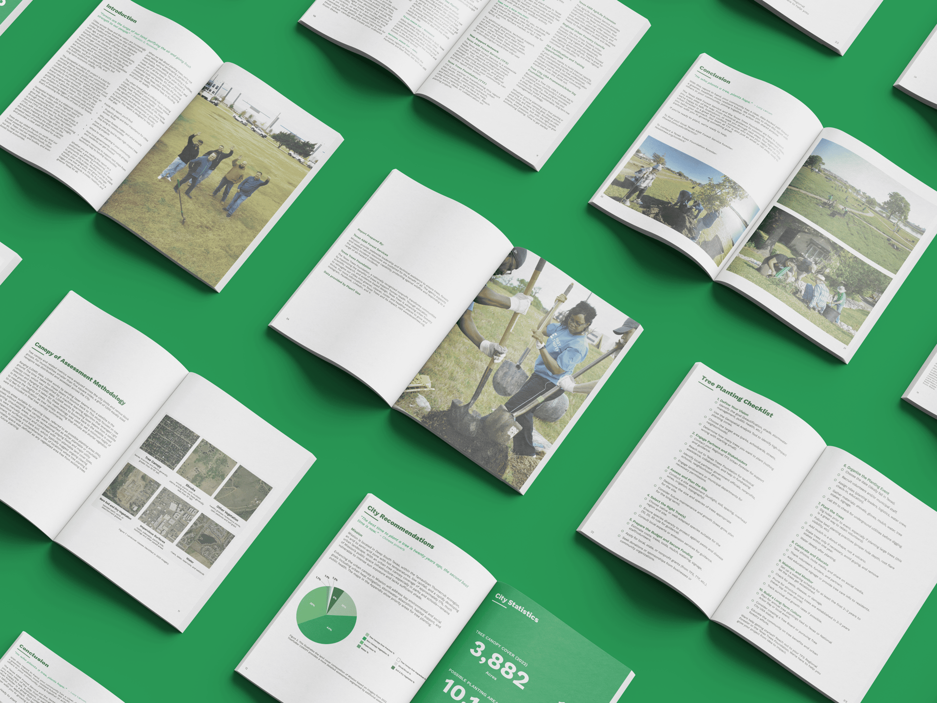
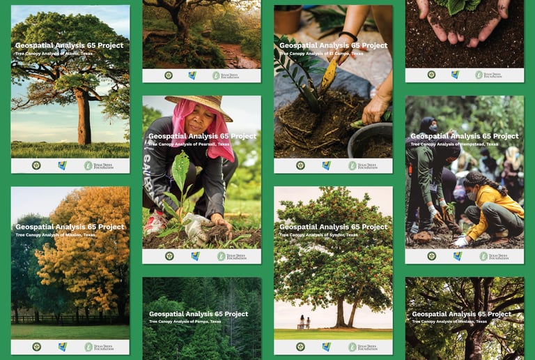
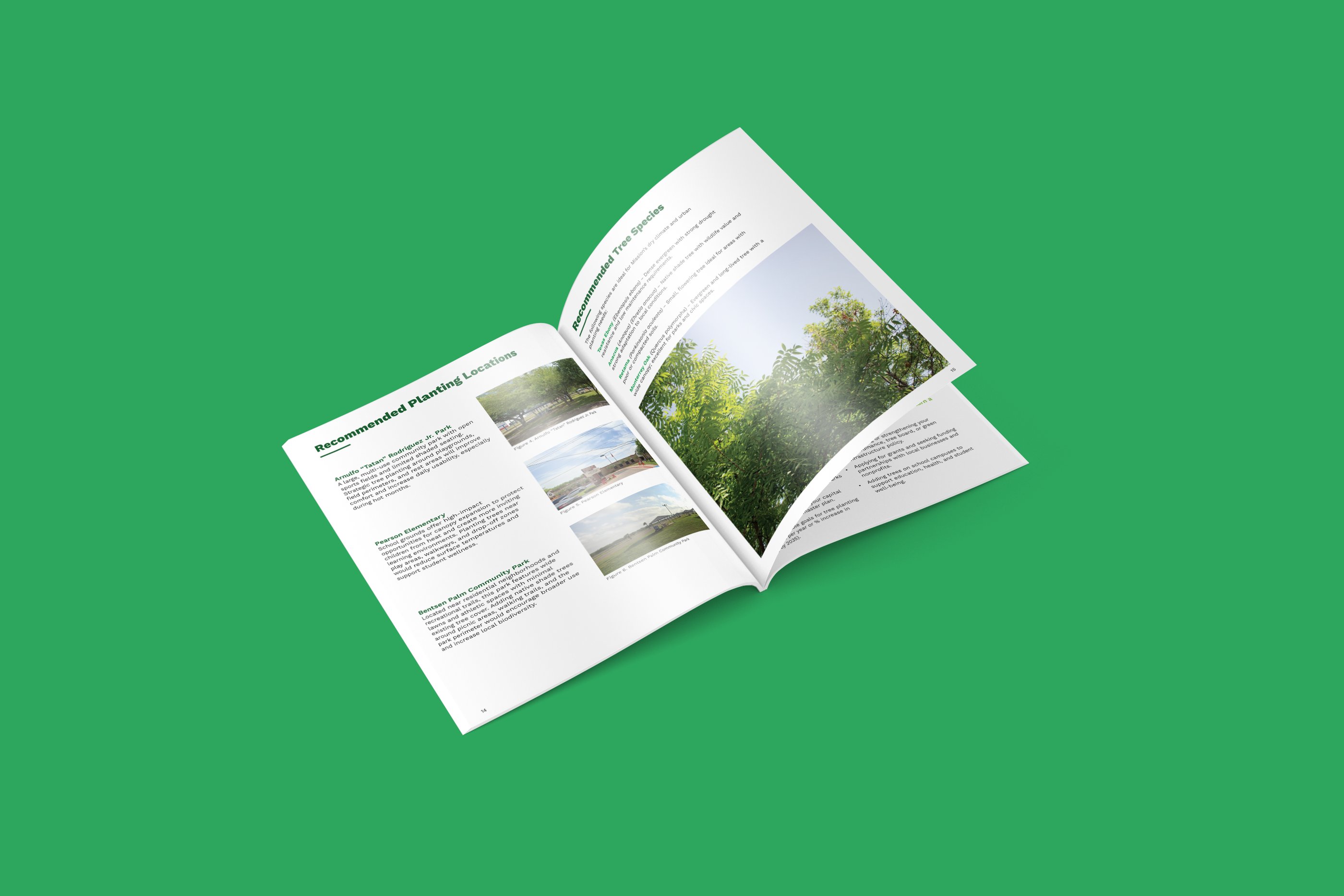
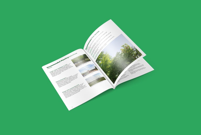
Texas Trees Foundation partnered with Texas A&M Forest Service and PlanIT Geo on
the Geospatial Analysis 65 project to identify high-impact tree-planting areas across
64 Texas cities.
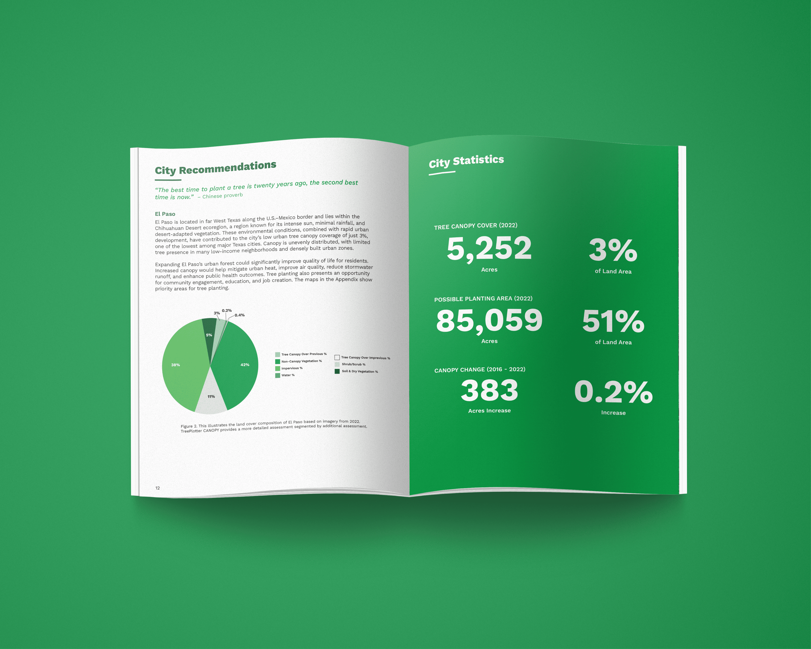
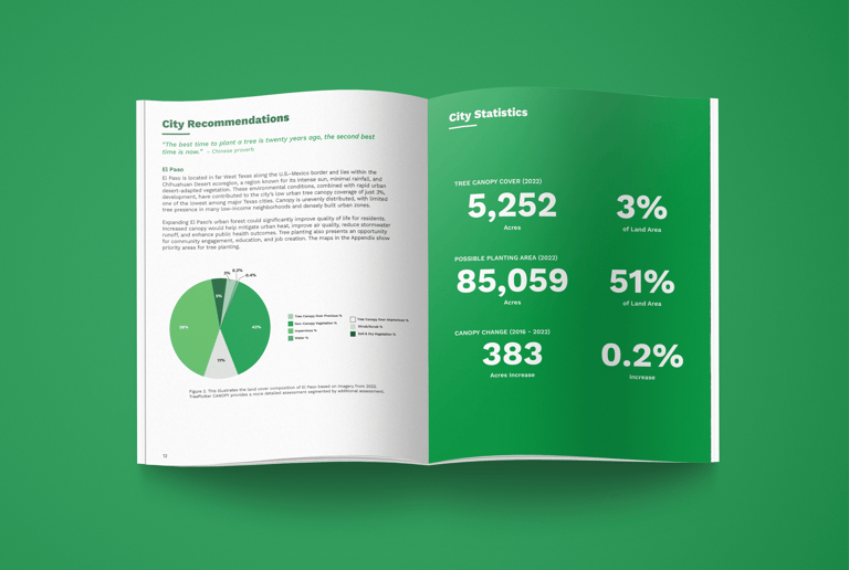
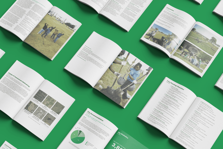
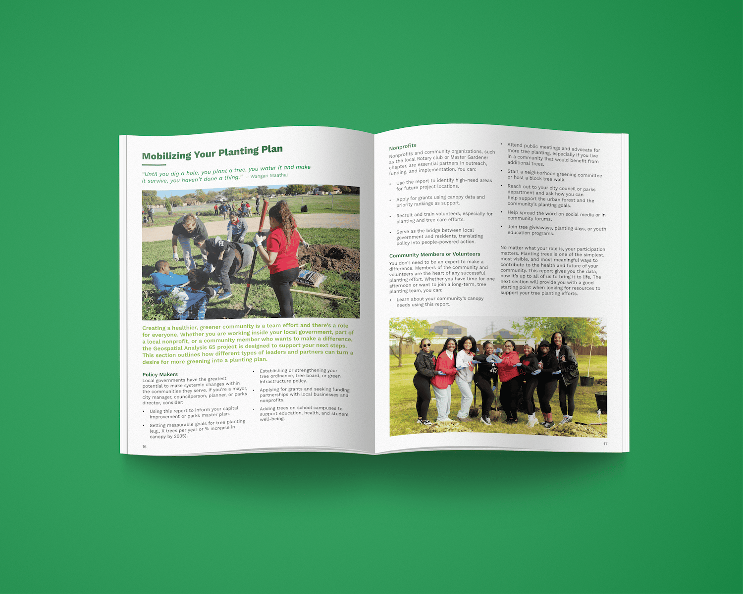
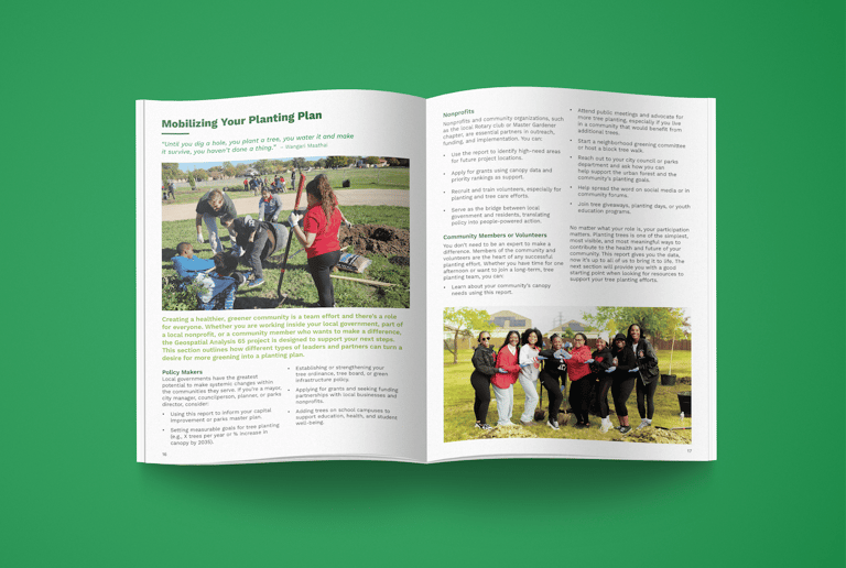
I designed all 64 reports for each city by creating the layouts, covers, graphs and the forest illustration for the value of the urban forest spread to clearly communicate each city’s canopy needs. The reports help identify priority planting zones and guide long-term plans for greener, cooler communities.
Details
Project Focus: Report design
Client: Texas Trees Foundation
Role: Graphic Designer
Tools: Illustrator and InDesign


Design Process
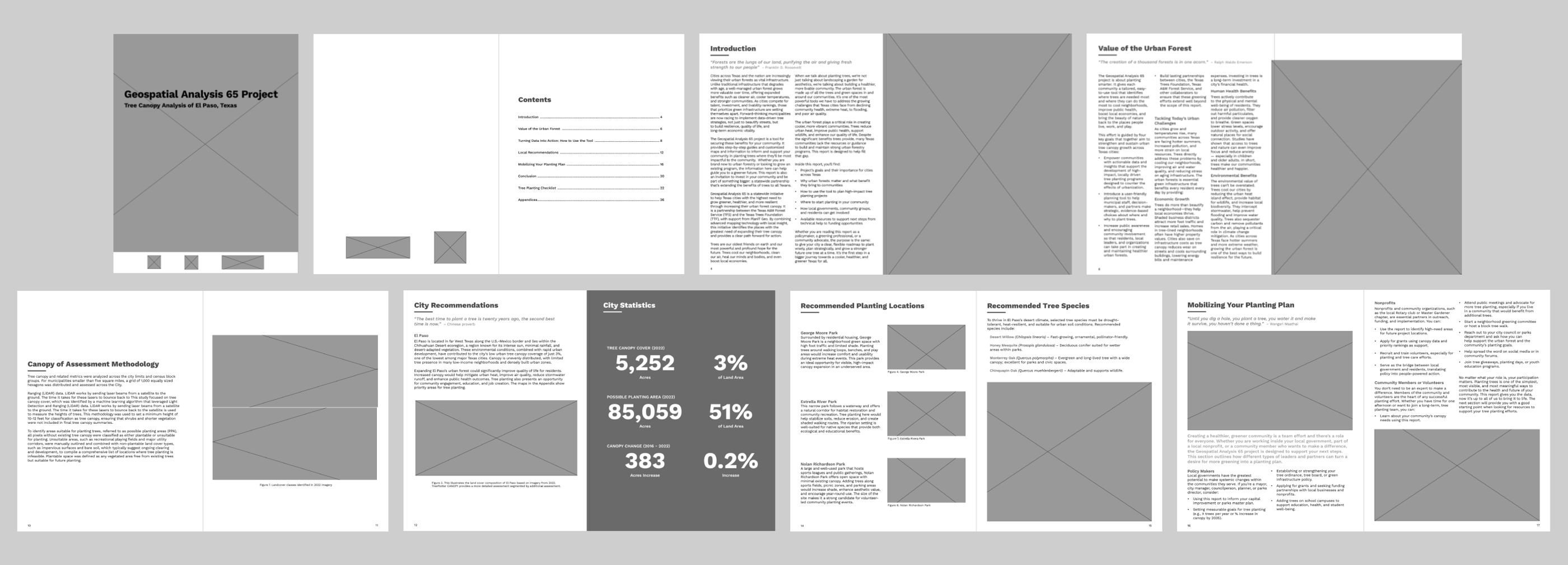
My design process for starting these report designs was first creating a template for the layout of all the pages. I begin all my design work once I get all the content such as photos, text, graphics and existing branding.
When I got to designing this report, I used all the supplied copy, photos and existing brand guidelines I was provided by Texas Trees Foundation. Once I got all the content I need to create the reports that's when I had the vision in my head on how to put all this together in a cohesive way that makes sense for the reader as the target audience is the general public/non-foresters, policymakers, community advocates and greening professionals.